
Mining Drone
Order Code: D0006
Category: UAV & Drone
We present Aerial Mapping / Surveying for Mining sites employing fashionable drone technology. Having satisfied Centimeter Level Accuracy, our GIS maps assist operation managers in the process of enhanced decision-making, allowing mines to be more pr...
SPECIFICATION
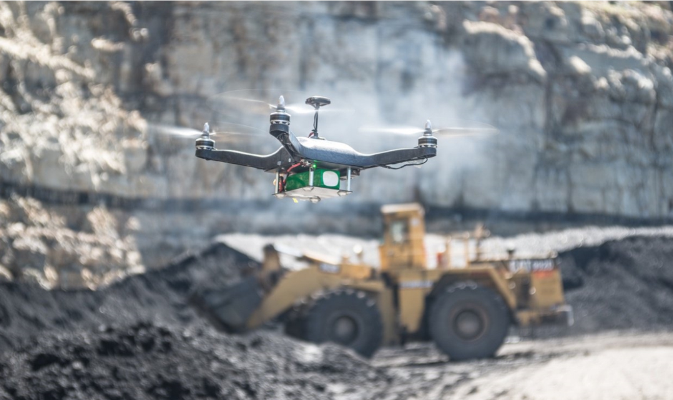
We present Aerial Mapping / Surveying for Mining sites employing fashionable drone technology. Having satisfied Centimeter Level Accuracy, our GIS maps assist operation managers in the process of enhanced decision-making, allowing mines to be more productive and smart. Along with 30x faster data collection and 100% safety Drone Powered Surveys, smart management allows companies to keep track of stockpile management, Mining operations, Haul road optimization, water and sediment flow, mining exploration, mine blast assessment, etc.
Stockpile Management:
No matter what your work is in the development, mining, or total area, stockpile management is an unquestionable necessity. Allocating your labor force for stockpile estimation can be perilous, tedious, and expensive. All stockpiles change in shapes and sizes, making it trying to gauge their volumes with high precision through customary techniques. All things considered, the most ideal goal is to utilize excellent drones to amass survey information. We advance stockpile volume assessment with close to 100% precision and further loss issues concerning mine tasks and staff security.
Blast Arranging and Evaluation:
One of the key utilizations of drone innovation should be visible in geology and mining activities, particularly in arranging, charging, and requiring blasting tasks. This combo of unmanned vehicles and 3D Photogrammetry convey High-Accuracy Inspections of the blasting region to make basic assessments in regards to somewhere safe.
Enquiry Form
Related Product


Tesca specialize in doing turnkey projects that is fully operable when it is handed over to the project authority. Starting from inception to application training, Tesca provides the services as ONE source solution. Working side by side with government authorities and people across the World, we help countries to perform better. We support countries grow their economies, strengthen their education and health systems and improve financial management. We do this by providing consultancy & training in environment safety, education, health strengthening.
Category
Useful Links
Contact Us
International Sales:
export@tesca.in
 91-9829132777
91-9413330765
India Sales:
indiasales@tesca.in
91-9588842361
2026 © All Rights Reserved.