
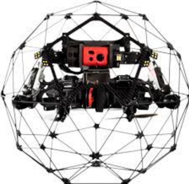
Surveying Drone
Order Code: D0010
Category: UAV & Drone
Our Drones endeavors to give obvious Aerial Drone Studying/Planning administrations across India. From having served the Public authority and Confidential area in Land Studying, Aerial Reviewing for Land executives and Advancement, Land Slant checkin...
SPECIFICATION
Our Drones endeavors to give obvious Aerial Drone Studying/Planning administrations across India. From having served the Public authority and Confidential area in Land Studying, Aerial Reviewing for Land executives and Advancement, Land Slant checking, Store volumetric estimations, Planning savvy urban communities, Planning greenfield projects, and so on our experience stays unbeatable. Decked with Very good quality studying Drones and a group of talented authorized Pilots, our clients get the expectations quicker, thus advancing more spry navigation.
Land Surveying:
Our across-the-country and customized adminis-tration of drone surveying empowers us to acquire exact geological guides and 3D models of regions with unaccessible proof. Broad land studies and geological reviews grant the clearest portrayal of cadastral guides, right away and in a problem-free way.
Metropolitan Planning:
With amazing headways in drone innovation, the utilization of drones in metropolitan arranging has become broad. Through drone surveying, we can aggregate gigantic measures of information rapidly and at lower costs because of computer-based intelligence handling and AI.
Enquiry Form
Related Product


Tesca specialize in doing turnkey projects that is fully operable when it is handed over to the project authority. Starting from inception to application training, Tesca provides the services as ONE source solution. Working side by side with government authorities and people across the World, we help countries to perform better. We support countries grow their economies, strengthen their education and health systems and improve financial management. We do this by providing consultancy & training in environment safety, education, health strengthening.
Category
Useful Links
Contact Us
International Sales:
export@tesca.in
 91-9829132777
91-9413330765
India Sales:
indiasales@tesca.in
91-9588842361
2026 © All Rights Reserved.